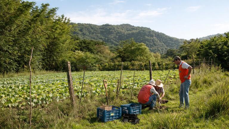
Soil testing
It has interesting implications for environmental monitoring professionals working in agriculture, hydrology and climate analysis.
By combining microwave reflectivity data with more detailed information about vegetation structure, researchers have developed a method that improves accuracy in one of the most challenging conditions for remote sensing: densely vegetated landscapes.
Soil moisture is a core variable in environmental monitoring. It underpins drought assessment, crop management, hydrological modelling and weather prediction. Satellite-based microwave sensing has become a key tool because it can operate in most weather conditions and provide broad spatial coverage.
However, there is a well-known limitation. In areas with dense vegetation, particularly forests, canopies interfere with microwave signals, reducing the reliability of soil moisture estimates.
Most existing retrieval methods attempt to correct for this using vegetation indices such as NDVI (Normalized Difference Vegetation Index) or EVI (Enhanced Vegetation Index). While useful, these indices provide only limited information about canopy structure and how light and energy interact with vegetation.
The result is a consistent issue for monitoring practitioners: soil moisture is often underestimated or poorly resolved in heavily vegetated regions.
The new study addresses this limitation by moving beyond standard vegetation indices and incorporating Bidirectional Reflectance Distribution Function (BRDF) parameters derived from MODIS satellite data.
Unlike NDVI or EVI, which primarily capture vegetation 'greenness', BRDF provides information about how light is reflected in different directions. This allows it to represent canopy structure, density and anisotropic reflectance behaviour – factors that directly influence how microwave signals interact with the land surface.
The researchers combined this BRDF information with data from the CYGNSS satellite system, which measures surface reflectivity using signals from global navigation satellites. A machine learning model (Random Forest) was then used to identify the most relevant variables and optimise the retrieval process.
The optimised model, referred to as Scheme A+, delivered clear performance improvements over conventional approaches.
Across 23 US states and multiple land-cover types, the method achieved:
The largest improvements were observed in forested regions, where traditional methods struggle most.
Importantly, the model achieved these gains while remaining computationally efficient. By selecting only a small subset of the most informative BRDF parameters, around 19% of the total available, the system maintained strong performance without excessive data processing requirements.
For practitioners, the key takeaway is not the specific model architecture but the shift in how vegetation is represented in soil moisture retrieval.
The study shows that directional and structural information about vegetation can be more valuable than traditional spectral indices when correcting for canopy effects. This has implications for how satellite data is selected, processed and interpreted in operational workflows.
It also reinforces the growing role of data fusion and machine learning in environmental monitoring. Rather than relying on a single data source or index, the approach integrates optical and microwave signals and uses feature selection to extract the most relevant information.
The ability to retrieve soil moisture accurately in vegetated regions is particularly important as monitoring systems are increasingly used to support decision-making in agriculture, water management and climate adaptation.
Forested and mixed landscapes are often where uncertainty is highest, yet they play a critical role in regional hydrology and carbon cycles. Improved retrieval methods in these areas can enhance drought detection, irrigation planning and ecosystem monitoring.
More broadly, the study reflects a wider trend in remote sensing: moving beyond simple indices toward physically meaningful representations of land surface processes, supported by machine learning.
While the work is based on retrospective analysis rather than a deployed operational system, it demonstrates a clear pathway for improving satellite-derived soil moisture products.
For environmental monitoring professionals, the relevance is immediate. As satellite data becomes more integrated into routine workflows, incremental improvements in retrieval accuracy, especially in difficult environments, can translate into better forecasts, more reliable assessments and stronger decision support.
In this case, the advance is straightforward but significant: a better representation of vegetation leads to better measurement of the water beneath it.
IET 36.5 Sept/Oct 2026



 Product directory




















.jpg)