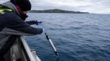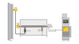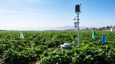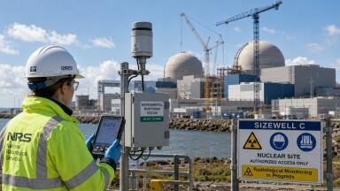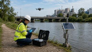
Portable & field testing
Until now, monitoring forest carbon stocks has relied heavily on ground-based inventories and proxy indicators like canopy cover or land use classifications.
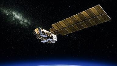
But with the launch of the European Space Agency’s (ESA) Biomass satellite in April 2025, that’s beginning to change.
As the first satellite to carry P-band synthetic aperture radar (SAR) into space, Biomass offers the ability to directly measure above-ground biomass (AGB) on a global scale.
This allows environmental professionals to quantify the carbon content of forests with unprecedented precision, ushering in a new standard for forest monitoring, verification and carbon accounting.
P-band radar, with a long wavelength of ~70 cm, can penetrate dense forest canopies to detect trunks, branches and woody structure - the elements that store the majority of a forest’s carbon.
Unlike optical sensors or shorter-wavelength radars, P-band SAR works day or night, through cloud cover, and can operate in all weather conditions.
From its sun-synchronous orbit, Biomass will generate global biomass density maps at ~100 m resolution, updated every six months.
These data products, made freely available through ESA, provide detailed, spatially consistent insights into carbon stocks and changes over time.
Crucially, Biomass doesn’t just produce forest images, it quantifies wood volume and biomass - a first for space-based remote sensing.
It achieves this through polarimetric and interferometric radar techniques, supported by a 12-m deployable antenna and calibrated via transponders and terrestrial laser scanning (TLS) campaigns.
For professionals in environmental monitoring, particularly those tasked with validating carbon credits, Biomass could transform how projects are assessed and verified:
These improvements could dramatically reduce uncertainty in carbon credit calculations and increase confidence in the legitimacy of offsets.
As digital MRV (Measurement, Reporting and Verification) platforms evolve, expect Biomass data to be integrated into automated verification tools and credit issuance workflows.
Although the satellite only launched in April 2025, early imagery has already demonstrated its value.
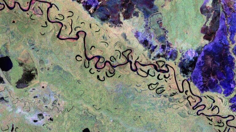
For instance, Biomass captured deforestation patterns in Bolivia and forest structure variations across Gabon’s Ivindo National Park.
Biomass data will be available via ESA Earth Online.
Stakeholders interested in applying Biomass for MRV, REDD+, or carbon project validation are encouraged to engage with ESA’s user workshops and data training resources.
These initial data not only identify deforestation but quantify the biomass loss, something prior radar and optical systems struggled to achieve with high confidence.
REDD+ programs in tropical nations like Mozambique, Peru, and the Philippines are preparing to integrate Biomass into their national forest monitoring systems.
This allows them to report forest emissions reductions under the Paris Agreement’s Enhanced Transparency Framework using Tier 3-level, spatially explicit data.
At the project level, platforms like CarbonEagle are incorporating Biomass data to validate forest carbon credits.
These applications can significantly cut MRV costs and enable smaller projects to participate in voluntary carbon markets.
Despite its strengths, Biomass has limitations users must account for:
These caveats highlight the need for multi-source integration, pairing Biomass with UAV photogrammetry, airborne LiDAR, TLS, and Sentinel-2 optical imagery to achieve high accuracy in both MRV and biodiversity monitoring.
Biomass is part of a broader shift toward transparent, scalable and performance-based carbon finance. Its free, open data could enable:
Eventually, even sovereign debt markets and results-based loans may link financial terms to forest carbon trends observed by satellites like Biomass.
For monitoring professionals, this marks the beginning of a paradigm shift: one where forest carbon is no longer estimated but directly observed.
IET 36.3 May