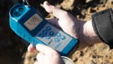
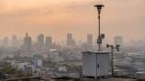
Air sensors
More wildfires means more carbon emissions - but do we know how much more?
By Jed Thomas
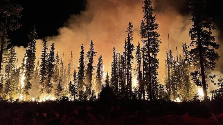
Wildfires have intensified globally, becoming more frequent, extensive, and severe, driven by climate change and shifting land-use patterns.
From North America to Siberia and Australia, regions previously unfamiliar with severe wildfires now regularly experience devastating fire seasons.
This escalation poses a significant challenge to our climate objectives and demands urgent scrutiny into how effectively we're monitoring these fires' environmental impacts.
Current monitoring practices rely heavily on indirect methods, primarily satellite remote sensing combined with emission factor modeling.
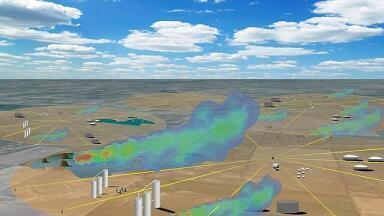
Satellites such as MODIS, VIIRS, and ESA's Sentinel series detect fire locations, intensity, burned areas, and fire radiative power (FRP). These data points serve as proxies to estimate CO₂ emissions volumes.
Yet, substantial uncertainties persist. Factors such as incomplete combustion, variations in vegetation moisture and density, cloud coverage, and smoke interference contribute significantly to wide error margins in these estimates.
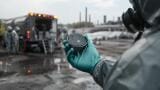
Ground-based monitoring provides precise localized measurements but remains sparse. Flux towers and eddy covariance measurements, though highly accurate, cover limited areas and are impractical in remote, wildfire-prone regions.
Similarly, aircraft monitoring, despite its precision in capturing plume composition and emission rates, is costly, logistically challenging, and often unavailable for remote or extensive fires.
Crucially, current satellite sensors seldom directly measure CO₂ emissions from wildfires.
Although specialized missions like NASA's OCO-2 and ESA’s Sentinel-5P measure atmospheric carbon gases, these data typically yield broad regional insights rather than real-time, localised emission quantifications needed for actionable monitoring and response efforts.
The significance of accurately monitoring wildfire CO₂ emissions cannot be overstated.
Wildfire emissions now regularly exceed billions of tons of CO₂ annually, often surpassing emissions from major industrial sources during particularly severe fire seasons.
This monitoring gap significantly constrains our ability to incorporate wildfire emissions accurately into climate models, complicating mitigation strategies, carbon budgeting, and policy-making decisions.
Moreover, precise emissions data is essential for informing public health responses, as wildfire smoke significantly impacts air quality, respiratory health, and community resilience, often far from the original fire source.
Advancing wildfire CO₂ monitoring is thus imperative. Enhanced satellite missions promising direct atmospheric carbon measurements, such as the upcoming ESA Sentinel-7 mission, represent critical advances.
Integrating drone-based monitoring, artificial intelligence-driven data assimilation, and expanded ground-based sensor networks also offers viable paths forward.
Improved sensor technologies capable of distinguishing and quantifying emissions more precisely at regional and local scales can dramatically enhance real-time response capabilities.
Such technological advances would significantly reduce uncertainty, enabling quicker, better-informed interventions by emergency services and environmental management authorities.
Without these improvements, the environmental monitoring community risks underestimating one of the most potent and unpredictable contributors to global CO₂ levels.
Addressing this knowledge gap requires collaborative innovation involving governments, researchers, technology companies, and environmental monitoring equipment users.
To match the rapidly evolving threat posed by wildfires, our monitoring techniques must evolve swiftly, ensuring they are as dynamic, adaptable, and responsive as the wildfires themselves.
IET 36.3 May


-(1).jpg)