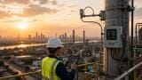
Air quality monitoring
Published over 4 years ago. See the latest and most current information on Air quality monitoring.
Increased accessibility to Smart City infrastructure in recent years has made air quality mapping a priority for cities of all sizes worldwide. In many locations there is a strong push to adapt this technology for mandatory reporting of air pollution data to federal and/or international agencies, for two primary reasons:
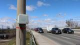
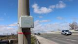
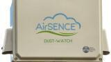
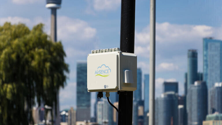
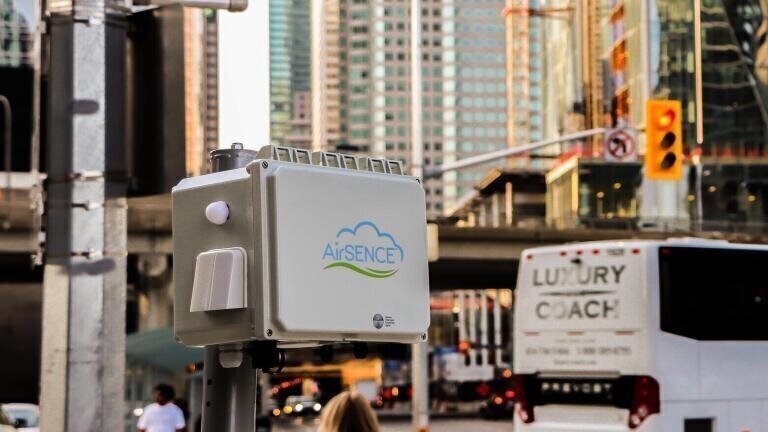
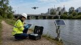
AirSENCE is a caaqMMS ideally suited for air pollutant mapping. City administrators and government policy makers stand to benefit from the introduction of air quality maps collecting baseline air pollution data, which enables analysts to understand what “normal” pollutant concentrations are for a given area, and what would be considered unusually clean or unhealthy conditions.
Air quality maps also provide crucial trends for understanding air-related health impacts and quality of life, which helps cities seeking to attract businesses and young talent. Publicly accessible air quality data conveys dedication to community health and wellbeing, as well as the public’s right to know. Emerging generations are increasingly attuned to these factors and will therefore gravitate to forward-thinking leaders that pursue initiatives for enhancing liveability and transparency.
Air is not homogeneously distributed across urban areas, and localised “hot spots” elevate pollutant loads for whole cities. Air quality mapping helps the public identify pollutant sources and increases awareness of their geospatial and temporal variations. “Hot spot maps” also enable city administrators to design appropriate pollution reduction strategies targeted to those localities, improving cities’ overall air quality.
Some well-established and cost-effective methods to improve air quality in hotspot areas include:
AirSENCE an Advanced, Accurate & Affordable caaqMMS - a Comprehensive Solution for Air Quality Mapping
IET 36.2 Mar/Apr 2026


.jpg)