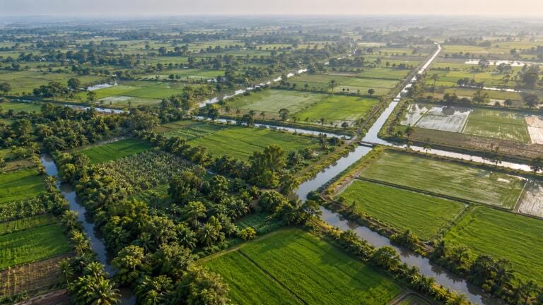
River water monitoring
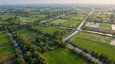
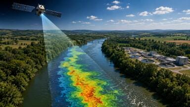
An analysis of around 800,000km of canals in 22 countries found that satellite radar observed water levels with moderate to high confidence at more than 85 per cent of locations.
A satellite mission built to measure oceans, lakes and large rivers can also monitor water levels in narrow irrigation canals, according to researchers at the University of Washington (UW).
The study, published in Geophysical Research Letters, assessed the Surface Water and Ocean Topography (SWOT) mission across canal networks in 22 Asian countries – a region where irrigation supports food production for around three billion people.
Most agricultural regions lack systematic monitoring of canal flows. Farmers and water managers instead rely on scattered gauges, inspections and local reports.
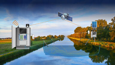
SWOT, operated by NASA with international partners and in orbit since December 2022, uses interferometric radar to detect changes in surface water elevation at least once every three weeks. Canals are often narrower than 20m, at the extreme low end of what the satellite was designed to resolve, and its designers had assumed fluctuations within them would not be visible.
The team overlaid SWOT data on the Global Registry of Agricultural Irrigation Networks (GRAIN), a dataset published in 2025 that used open-source mapping data and machine learning to chart 3.8 million kilometres of canals. Each kilometre was scored for confidence based on how closely the satellite’s view matched known land contours and how strong the signal was relative to noise. A comparison with ground measurements from canals in the US indicated that the scores reflected actual performance.
Of the canal length assessed, 37.5 per cent was rated highly observable, 46.9 per cent moderately observable and 15.6 per cent poorly observable. Wider, well-organised canals on smooth slopes in open surroundings performed best. Dense vegetation was the main obstacle.
Lead author Mridul Sharma, a UW graduate research assistant in civil and environmental engineering, said: “GRAIN mapped where canals are. SWOT revealed what was happening inside them.”
The researchers are now building tools to monitor water delivery in South Asia and support canal management in the western US. These could show which canals are carrying enough water, where levels drop unexpectedly or flow stagnates, and how delivery changes over a growing season – information that could inform crop choices and drought planning.
Co-author Professor Faisal Hossain said: “What we are seeing is not simply a new satellite capability. It may represent a fundamentally new way of managing the water conveyance systems that sustain modern agriculture.”
The research was funded by NASA.
IET 36.5 Sept/Oct 2026

 Product directory