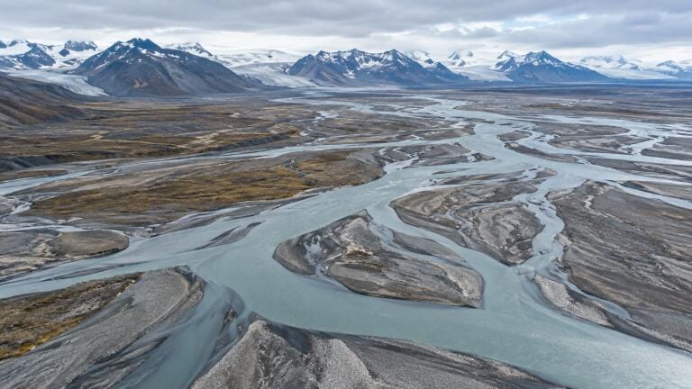
River water monitoring
Dammed, arid-zone and Arctic rivers are the hardest to model – and among the most important for water resource planning.
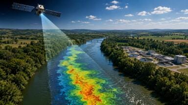
Satellite measurements of river water levels have been used to pinpoint where machine-learning river models produce serious errors, in a study led by the University of Massachusetts Amherst (UMass Amherst).
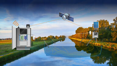
Hydrologist Colin Gleason and colleagues compared current machine-learning estimates of river flow with observations from the Surface Water and Ocean Topography (SWOT) satellite mission. The findings are published in Geophysical Research Letters.
River models are widely used to estimate water in remote or ungauged catchments, supporting hydropower development, water-use planning and climate adaptation. Until SWOT, there was no practical way to check them on a global scale.
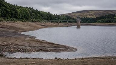
The comparison found that models struggle most with dammed rivers, rivers in arid climates – especially in densely populated areas – and Arctic rivers. Fewer than 10 per cent of reaches fall into the ‘serious error’ category, but these are among the most sensitive for water resources.
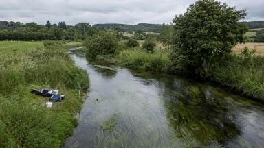
Models perform well on ‘regular’ rivers: single-channel, not glacier-fed, and without estuaries or dams. According to Gleason, however, only 11 per cent of the world’s rivers fit that description.
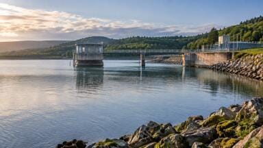
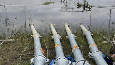
Dams present a particular problem. On the Connecticut River, a pumped hydro reservoir can change river depth by more than a metre a day. Modelling that accurately would require knowledge of the plant, electricity prices and the operator’s pumping thresholds.
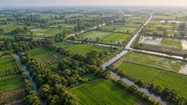
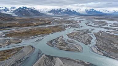
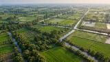
In arid regions such as Australia, Central Asia, the south-western US and Mexico, rivers depend on groundwater, which responds to pumping in indirect and delayed ways. In the Arctic, the limitation is data. Iceland, for example, has few comparable locations elsewhere, other than parts of New Zealand.
Gleason said: “Machine learning does really well at replicating patterns it can find in the data, but if there’s no data, it can’t find any patterns.”
He added that the errors have direct consequences for downstream uses: “In this study, we learned where the models are right and where the models are wrong. In turn, anywhere they’re wrong means their climate change predictions are wrong or their irrigation forecasts are wrong.”
Gleason suggested that in some regions, direct SWOT observations could replace model estimates altogether. He said: “Let’s measure them first, and let’s trust the measurements rather than the models.”
Read more: http://dx.doi.org/10.1029/2026GL124323
IET 36.5 Sept/Oct 2026

 Product directory