Air monitoring
Published over 17 years ago. See the latest and most current information on Air monitoring.
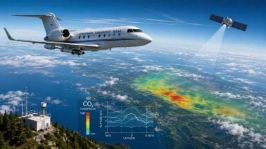
Leica Geosystems (Switzerland) announce that it has been selected by the Natural Environment Research Council (NERC) to supply LiDAR (Light Detection And Ranging), medium format digital photography and GPS technology to its Airborne Research and Survey Facility.
NERC funds independent environmental research in the UK, as well as supporting survey, training and knowledge transfer in the environmental sciences. NERC’s strategic priorities, provide a focus for the marine, polar, atmospheric, earth and terrestrial, and freshwater science communities, addressing major issues such as global climate change and the resulting environmental impacts. The Airborne Research and Survey Facility is a key component in support of NERC’s goals and provides the UK environmental science community and other potential users with the means to obtain high-quality remotely-sensed data in support of research, survey and monitoring programmes.
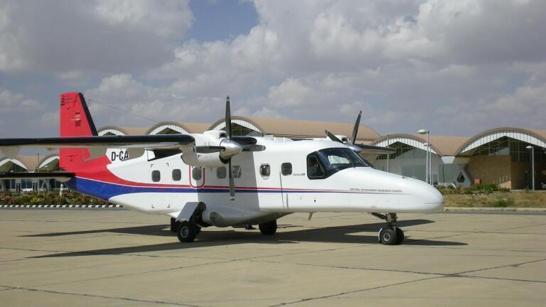
Peter Purcell, Head of NERC Airborne Research Facilities comments; “The Airborne Research and Survey Facility provides a broad range of capabilities for its users, operating a Dornier 228 research aircraft equipped with a suite of remote sensing instruments, enhanced by atmospheric in-situ sampling systems. Over the past few years, the Facility has had limited access to a LiDAR system and demand now exceeds availability as the user community increasingly regards the capability as core to their requirements.”
Purcell continues: “The acquisition of the Leica Geosystems LiDAR will significantly add to our ability to support high-quality and strategic environmental science. Further, the delivery later in the year of full waveform digitalisation will certainly advance our capability in terms of potential for improved surface cover modeling and biomass estimation, taking our LiDAR to the forefront of the science. The addition of the RCD105 camera provides even greater flexibility.”
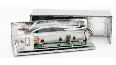
The Leica ALS50 is a laser-based system for the acquisition of topographical data for digital surface models and digital images from return signal intensity data. The ALS50 will be mounted in NERC’s Dornier 228 research aircraft to support a wide range of environmental applications in areas including climate change, earth sciences, ecology and archaeology. Examples of applications include measurement of the rates of change in glacier and ice-sheet thickness, vegetation analysis and biomass estimations, habitat mapping, quantification of fault movements and geotechnical hazards, and production of high resolution digital elevation models for the geocorrection of digital datasets. The ALS50 can yield details under tree cover, record data at night and orthorectify imagery using specialised software which makes it idea for use NERC. The RCD105 medium format digital camera adds the highest quality detail to the LiDAR data.
IET 36.3 May


.jpg)


2.jpg)