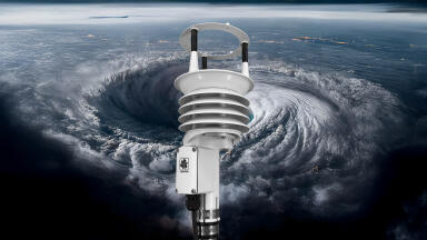
Weather monitoring
According to researchers writing in Science China Press, one reason leading global numerical weather prediction models failed to accurately forecast the event was their handling of complex terrain.
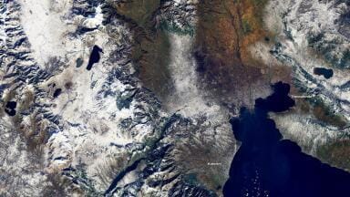
In particular, the study points to the role of orographic gravity wave drag, a subgrid atmospheric process linked to mountainous landscapes, in shaping where intense rainfall ultimately falls.
For environmental monitoring professionals, the significance lies in what it reveals about the persistent gap between modelled forecasts and the real world.
The researchers used the Model for Prediction Across Scales (MPAS) at 15 km resolution, broadly comparable with major operational global models, to explore why the rainfall forecast was displaced westwards towards the Taihang Mountains and substantially underestimated in intensity.
Their experiments suggest that when orographic gravity wave drag is properly represented, low-level easterly flow is slowed, the blocking effect of terrain is strengthened, and a mesoscale vortex remains to the east of the mountains, increasing local moisture convergence over Zhengzhou.
When that process is omitted, the vortex shifts westward, rain weakens and the forecast misses the location of the most severe impacts. In other words, the study identifies a mechanism through which unresolved terrain effects can produce large forecast errors during extreme precipitation events.
It has clear implications for the monitoring community, because studies like this underline the degree to which forecast improvement depends on observational support. The authors themselves note that more observations are needed to constrain parameterisation and reduce uncertainty.
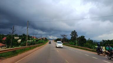
That matters because complex terrain remains one of the hardest environments for models to handle well, and because intense localised rainfall is exactly the kind of hazard that puts pressure on flood warning systems, emergency planning, drainage infrastructure and urban resilience strategies.
If models are to perform better in such settings, they need to be tested against denser, better resolved and better integrated observations.
For readers working in environmental monitoring, the practical question is what kinds of observation networks can help close that gap.
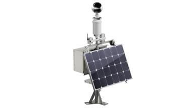
High-quality rain gauge networks, weather radar, satellite products, surface wind measurements, soil moisture monitoring and hydrological sensors all have a role to play in improving both event detection and post-event analysis.
Better observational coverage in and around complex terrain can help identify where forecast errors consistently emerge, support refinement of parameterisation schemes and strengthen data assimilation workflows.
Just as importantly, local monitoring systems can provide a reality check when even advanced global models underplay a fast-developing risk.
The Zhengzhou case therefore works best editorially not as a simple account of model failure, but as evidence that extreme precipitation forecasting remains deeply dependent on the quality of the observational foundation beneath it. For a specialist readership, that is the real takeaway.
Better forecasts require better representation of the atmosphere, and better representation ultimately depends on better measurements. In an era of growing rainfall extremes, the relationship between model development and monitoring infrastructure is likely to become only more important.
IET 36.3 May