Weather monitoring
La Niña, the cool phase of the El Niño-Southern Oscillation (ENSO), arises when sea surface temperatures in the central and eastern Pacific Ocean drop below average for an extended period.
This phenomenon, which can last 9 to 12 months or longer, is driven by intensified trade winds and upwelling of cooler, nutrient-rich waters from the ocean depths.
La Niña events are known for their profound impacts on global weather, ecosystems, and human activity.
La Niña begins when Pacific trade winds strengthen, pushing warm surface waters westward and allowing cooler water to rise in the eastern Pacific.
These changes disrupt global weather patterns by shifting the location and intensity of the jet streams. The impacts are far-reaching.
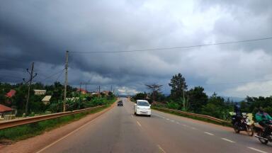
In Asia and Australia, La Niña often brings heavier monsoonal rains and increased flood risks.
North America typically experiences cooler, wetter winters in the Pacific Northwest and drier, warmer conditions in the southern United States.
Other regions, such as southern Africa and parts of South America, face varying effects, including drought or enhanced rainfall. Marine ecosystems are also affected as enhanced upwelling during La Niña boosts fish populations but can disrupt food webs.
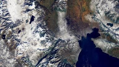
Satellites measure sea surface temperatures and ocean heat content, while floating buoys like those in the Tropical Atmosphere Ocean (TAO) array provide critical real-time data on ocean temperatures, currents, and winds.
Subsurface ocean monitoring reveals whether cooler waters below the surface are moving upward—a key precursor to La Niña.
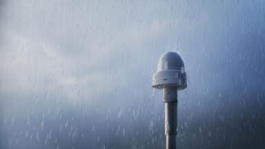
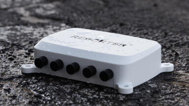
Atmospheric conditions, such as changes in the Walker Circulation and trade wind strength, are also tracked through weather balloons, ground-based instruments, and remote sensing.
IET Guide 2026

 Product directory