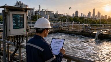
Water/wastewater
Published over 9 years ago. See the latest and most current information on Water/wastewater.
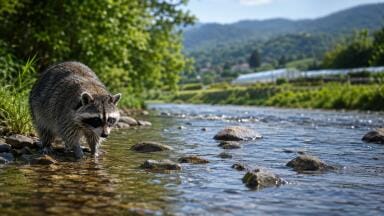
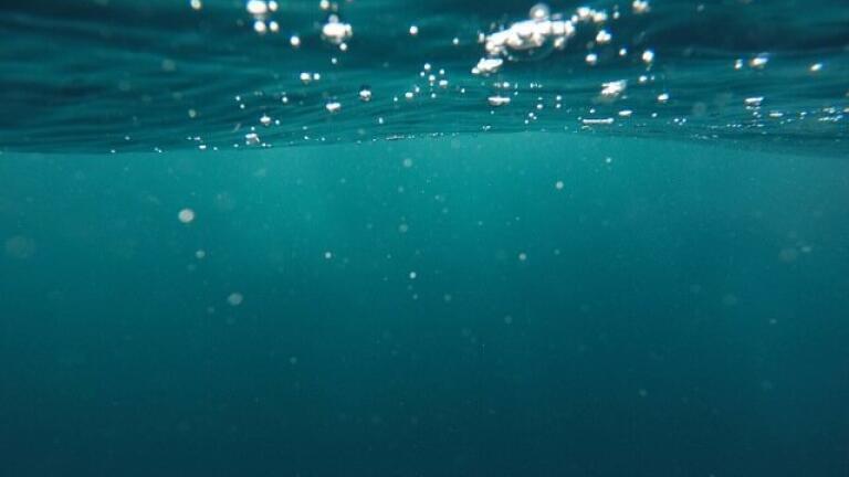
Monitoring wildlife above sea is tricky. Scientists have to use special cameras or expeditions to track the breeding progress and biodiversity in the wild. Under the sea it gets even trickier. Leaving a number of small cameras is problematic because they’re harder to access and such small devices would struggle with connectivity underwater. That’s why scientists have set up ‘ocean observatories’. Read on to find out more about this fascinating innovation.
The Ocean Observatory Initiative (OOI) is essentially a data collection project. Funded by the National Science Foundation, it’s a network of platforms and sensors that measure all aspects of the world’s oceans. From the chemical and biological properties to the geological processes and changes, the OOI aims to give scientists a better understanding of all things aquatic.
It all starts with the cabled seafloor technology, which allows up to 10kW/hour to be sent to the sea terminals from their on-land infrastructure. These cables are also used for communications though. With a bandwidth of 10 gig per second, the cables provide a two-way data transfer system, allowing the technology to be controlled and maintained from land.
Given the complexity of the environment, the here are a few different types of platforms being used by the OOI:
Data gathered by the under-water network can be used to answer ‘critical science-driven questions’. It means scientists ocean management and biodiversity issues will have a far greater pool of information.
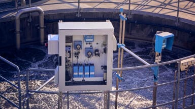
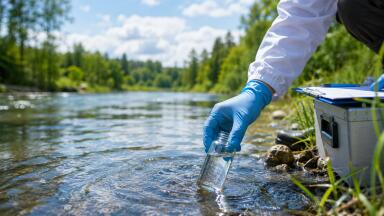
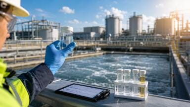
While the observatories take the limelight in this case, the actual sensors and water analysis methods used by scientists are pretty impressive themselves. Monitoring water requires some innovative equipment. Aquaread is one such tool, which was used by researchers from the University of Brighton. They wanted to monitor river water quality in the Arctic. They are treating the pristine water quality of these rivers as a model, with an aim to create guidelines and improve water quality elsewhere. Find out more about the project in ‘Water Quality Research in the Arctic’.
IET 36.3 May


.jpg)


.jpg)

.jpg)