Water testing
A global analysis of more than 80,000 catchments has found that most rivers do not convert a given amount of rainfall into a consistent amount of run‑off, complicating efforts to model flooding and water flow.
The study, led by Dr Ali Ameli, a hydrologist at the University of British Columbia, drew on more than two million rainfall–run‑off events across 97 countries. It found that complex behaviour – where similar rainfall amounts can generate very different run‑off responses – covered 87 per cent of the land area assessed, around 121 million square kilometres. Simple catchments, where a given amount of rain delivers a broadly consistent amount of water to the river, covered just 1.5 per cent. A third, intermediate group switches between two or three stable response patterns.
"We often imagine a catchment as a pipe – put in a certain amount of rain and get a predictable amount of run‑off," Dr Ameli said. "But most catchments behave more like dynamic systems with a memory. How much of today's rainfall becomes run‑off depends on both the conditions created by earlier weather and which parts of the landscape supply water to the river during the storm."
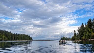
The researchers identified the frequency of meaningful rainfall as the strongest factor separating simple from complex catchment behaviour. Where rain arrives regularly, as along the coast of British Columbia, soils and subsurface pathways remain in similar states between storms, producing more consistent run‑off. Where wet and dry conditions alternate, the same catchment can respond very differently from one storm to the next.
Overall water availability and terrain also played a role: catchments with simpler behaviour tended to occur in wetter, steeper landscapes, while complex catchments were more common in drier conditions.
The team has released an interactive global map of the classifications alongside a free web application that returns a result for any catchment boundary, intended to help hydrologists select appropriate models for individual catchments. The research, involving Hamed Sharif of UBC and Dr Jeffrey McDonnell of the University of Saskatchewan, North China University of Water Resources and Electric Power, and the University of Birmingham, is published in Nature Water.
IET 36.5 Sept/Oct 2026

 Product directory