Water testing
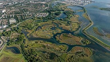
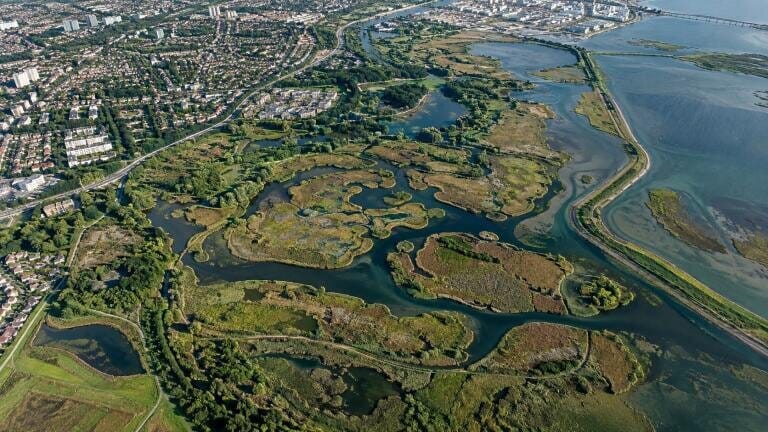
Wetlands reduce disaster risk, regulate climate, support biodiversity and provide services to urban communities, yet climate change and urbanisation have driven wetland loss and degradation since 1970.
Existing global mapping products often use broad land‑cover categories, inconsistent resolutions or omit seasonal dynamics and rarely follow the Ramsar classification system across an entire city, limiting their use for accreditation assessments.

The team developed the Object‑Knowledge‑based Hierarchical Optimisation Cascade method, combining object‑based analysis, ecological knowledge and machine learning across a spectral, geometric and seasonal cascade.
The approach generates the Global Wetland City Fine Classification System at 10‑metre resolution, separating 18 Ramsar wetland classes from six non‑wetland classes.
A random forest model establishes wetland boundaries, spectral clustering and extreme gradient boosting resolve differences between geometrically similar water bodies, and inundation rules distinguish permanent, seasonal and floodplain wetlands.
The researchers processed 27,879 Sentinel‑1 scenes and 16,104 cloud‑filtered Sentinel‑2 scenes across five benchmark years, building 49 spectral, texture, polarisation, topographic, geometric and seasonal features.
Validation against 54,186 samples covering the 18 wetland types across all 43 cities produced a five‑year mean overall accuracy of 94.69 per cent and a Kappa coefficient of 0.925.
By 2024, the mapped wetlands totalled 3,063,592.66 hectares, with a net increase of 145,781.41 hectares across the 43 cities since 2016; 17 cities recorded annual increases of at least one per cent, while six declined by at least one per cent.
"The framework converts satellite observations into a consistent, standards‑aligned picture of urban wetlands," the researchers said.
"It can help cities document restoration gains, identify losses and prepare evidence for accreditation."
The team plans to extend coverage to all 74 Ramsar Wetland Cities and to improve performance in cloud‑prone tropical regions. The study is published in the Journal of Remote Sensing.
IET 36.5 Sept/Oct 2026





 Product directory