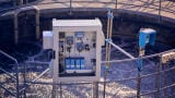
Water/wastewater
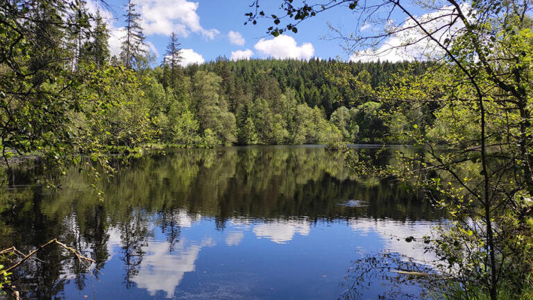
In the heart of France’s Vosges Mountains, five severely degraded peatlands are undergoing large-scale ecological restoration, led by the Conservatoire d’espaces naturels (CEN) of Lorraine. These unique wetlands, once rich in biodiversity and key to carbon storage, are being revived after decades of damage from peat extraction, drainage, and conifer planting.
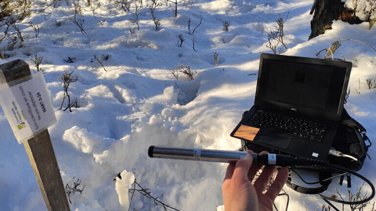
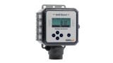
To closely monitor how these interventions affect the water regime, the CEN has installed 42 Aquaread LeveLine water level and temperature loggers, supplemented by barometric sensors. This autonomous, continuous monitoring solution is providing detailed data on water level and temperature changes before and after restoration — across all five sites.
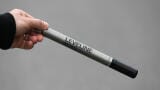
Aquaread’s LeveLine range is well-regarded by environmental professionals for its reliability in difficult field conditions. These standalone instruments log hydrostatic pressure and temperature at regular intervals, storing data locally for later retrieval.
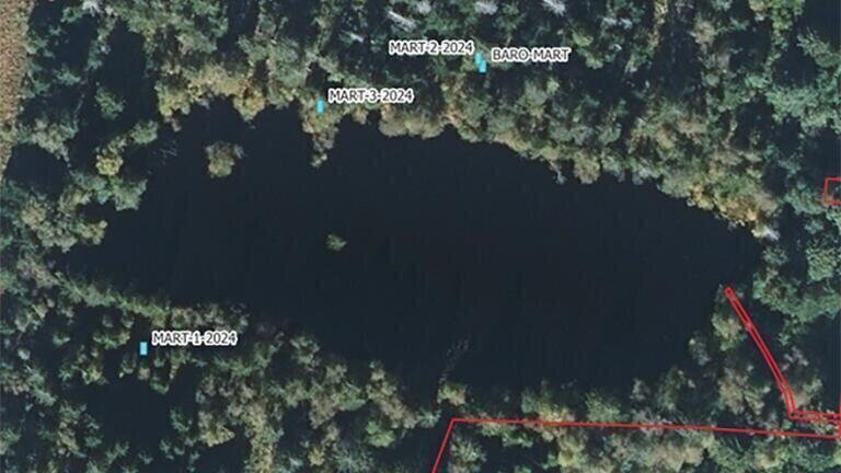
In the Vosges project, each logger was deployed inside a piezometer, with locations carefully selected across the five peatland sites. One barometric sensor per site enables correction of atmospheric pressure, allowing accurate conversion of raw pressure readings into absolute water level values - a critical factor for precise hydrological analysis. Data is collected on a regular basis by field operators.
Peatlands are dynamic by nature. As the peat layer swells and contracts with rainfall and seasonal change, even small movements can distort readings. To maintain measurement accuracy, the piezometers were firmly anchored to the mineral substrate using rebar and securing collars. The compact, durable design of the LeveLine loggers makes them well-suited to this type of soft, shifting terrain.
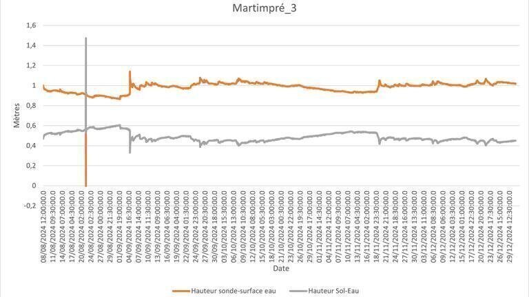
Since each logger is installed at a different depth, raw values (the distance between the probe and water surface) naturally vary. To compare data across sites, CEN technicians apply corrections in Excel, calculating the true water table height relative to ground level - a more meaningful metric for ecological assessment.
Early readings from the LeveLine sensors have already revealed three distinct hydrological profiles, each reflecting a different level of peatland degradation. One area shows severe drying, with water levels far below the surface and only a few remaining patches of characteristic peatland vegetation. Another displays healthier moisture levels, in direct hydrological connection with a neighbouring pond. A third site reveals a deeply degraded soil profile, where the water table has dropped significantly — useful data for planning the removal of oxidised peat and re-establishing saturated conditions.
These insights are helping project teams prioritise actions and understand how each site is responding.
The restoration measures underway include removing degraded peat, reintroducing sphagnum mosses, and reestablishing a healthy water regime. In this context, the continuous, autonomous monitoring provided by the LeveLine loggers plays a central technical role.
With the data collected, site managers can accurately characterise baseline conditions before work begins, track post-restoration changes in real time and scientifically document the impacts of the interventions.
Through this project, Aquaread’s LeveLine loggers have proven to be an indispensable solution for wetland restoration monitoring. Combining robustness, precision, autonomous operation and reliability, they offer a trusted tool for professionals working in sensitive and challenging natural environments.
In the Vosges, and increasingly across Europe, these instruments are helping scientists and land managers bring damaged peatlands back to life, one data point at a time.
IET 36.2 Mar/Apr 2026


.jpg)