Environmental laboratory
Published over 16 years ago. See the latest and most current information on Environmental laboratory.
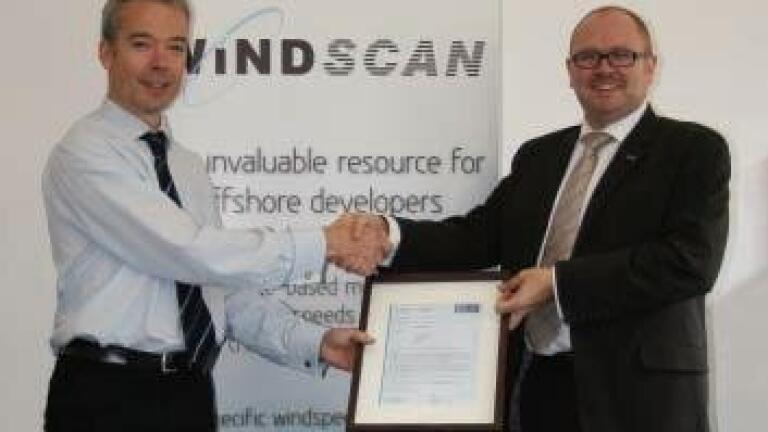
Atmos Consulting’s revolutionary technology, WindScan™ is set to transform how renewable developers select offshore wind farm sites after being accredited by the renewable industry’s top independent verification body, Germanischer Lloyd (GL).
Atmos Consulting asked Hamburg-based GL to test WindScan™’s accuracy against existing methods of wind measurement. WindScan™’s estimations were put to the test against Met Mast data, which is known to be very accurate, but is limited by its expense and fixed location.
The evaluation was carried out over the period of 2004-2008 for various heights above sea level and found that WindScan™’s estimates ranged from 95% to over 98% accurate compared to a Met Mast. This is significant as Met Masts can only measure one particular point, whereas WindScan™ can measure wind speed per square meter.
This test proves correct WindScan™ ’s claim to accurately estimate wind speeds at any point on the globe. Simon Tribe, Managing Director of Atmos Consulting, said: “We are pleased that WindScan™’s almost 100% accuracy has been verified by Germanischer Lloyd.
“WindScan™ is a major step forward for the development of the offshore wind industry. It provides developers with an extremely powerful tool, enabling fast, cost effective and detailed analysis of any site offshore. By gaining accreditation from Germanischer Lloyd, we are proving to offshore developers that it is almost 100% accurate and can be used to find the most profitable sites for offshore wind developments.
“WindScan™ already underwent validation against 10 years of offshore buoy measurements from 20 Met Office weather buoys located around the North Sea and North-East Atlantic Ocean, but we wanted to give potential clients a name they could recognise.
“Before WindScan™, most calculations of wind speeds were gathered on-site over 12 months by masts and buoys on a specific site. However, due to the large area of potential offshore sites, these measurements could not be considered accurate for the whole plot. For developers, that could have meant bidding for a huge offshore area that had one windy site, where the mast was, and the rest could have had little wind resource, with massive implications for the profitability of offshore developments.
“Our research to date has already shown that in one of the zones the difference in potential wind resource differs by around 13% from one side to the other. This carries massive financial implications for the developers.
“Other alternatives have been for developers to ask for ‘model’ wind predictions, based on estimated wind speeds. WindScan™ is the only piece of software that can offer 22 years of near perfect data to offshore developers, which can be used to predict trends in wind speeds and note changes in offshore climates.
WindScan™ uses three different sensors on six satellites to provide site specific measurements of offshore wind speed and direction, with measurements every 6 hours for the last 20 years for any offshore site around the globe.
The technology has already been used by E-On during their UK Round 3 offshore development bids, and to highlight the changing weather in the North Sea.
IET 36.3 May


.jpg)