Skye Instruments have been designing and manufacturing light & solar radiation sensors since 1983. We are well-known for our specialist light sensors for remote sensing applications, NDVI studies & for bespoke systems for projects within the 280 to 1100nm range. The SpectroSense2 logger & meter has been specifically designed for the standard light sensors, such as Lux & PAR, as well as for our specialist light sensors.
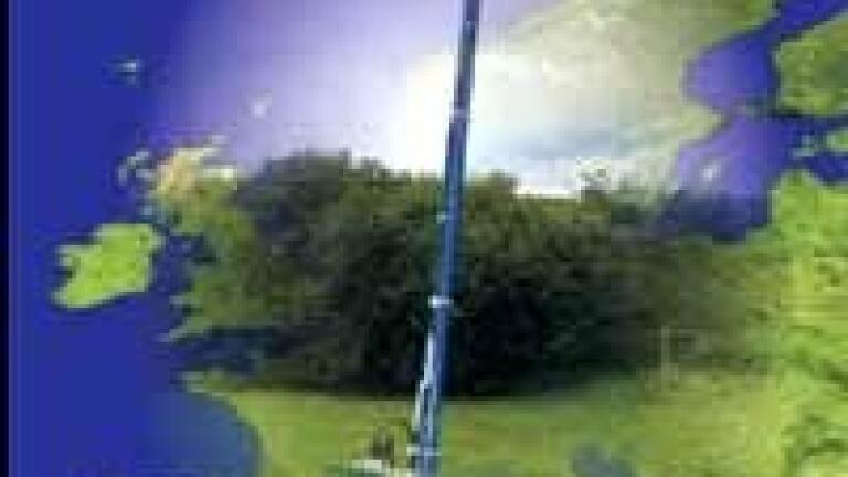
The addition of a GPS option means that experiments and fieldwork can be exactly placed. Visits can be made to the same location time and time again and the same measurements made. Changes in land use, crop density, vegetation cover, ground cover, etc can be easily monitored and tracked over time.
Data that is recorded can be offloaded as a csv file and used with proprietary 3D graphing software to produce maps of data distribution.
There is also a ‘plot location’ feature which means you can store a named description. For further details please visit www.skyeinstruments.com and discover all the features of the SpectroSense2, its applications & how it may suit your purpose.


.jpg)