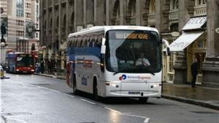
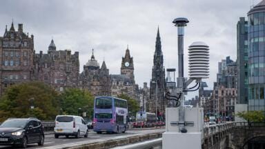
Plans to create a map of Cambridge's
air quality were to be put into action by Cambridge volunteers yesterday, it has been reported.
The helpers were due to walk and cycle a prearranged route around the city with mobile phones and pollution sensors linked by Bluetooth, in order to plot a real-time map of the
air quality in the area.
More than 40 people were scheduled to relay their findings to professors at the University of Cambridge's chemistry department, according to the BBC.
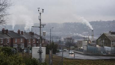
Carbon monoxide, nitric oxide, nitrogen dioxide and air temperature were all set to be measured by the electronic devices.
The inspiration for the idea came from an unexpected meeting between the university's Professor Peter Murray-Rust and the head of the Cambridge Mobile Urban Sensing project, Mark Calleja, who together decided to experiment with adding pollution information to free wiki maps from the global OpenStreetMap project, the Guardian reported.
Due to a lack of copyright restrictions on adding data to the online maps, the service was considered preferable to that offered by the Ordnance Survey, the UK's official mapping agency, the publication noted.
Written by Joseph Hutton


.jpg)


2.jpg)