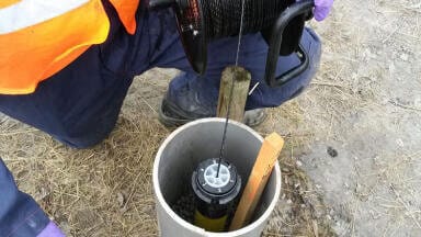
Groundwater monitoring
Published over 12 years ago. See the latest and most current information on Groundwater monitoring.
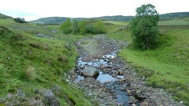
Over pumping of groundwater in the San Joaquin Valley, US is causing a large proportion of Merced County's surface to sink incredibly quickly. The latest US Geological Survey has revealed that the increase in groundwater pumping in the valley is resulting in an area over 1,000 miles squared sinking at an increasing rate.
Subsidence - the sinking of surface earth - is speeding up due to the overuse of groundwater as a water source during drought years in the area. The extreme pumping of the natural resource has caused the top layer of the surface to sink throughout an area that spans around 1,200 square miles.
According to the survey, certain areas of the valley have sunk by almost 30 feet in the years between 1926 and 1970. The practice of pulling water from the ground for agricultural use has created the large bowl near Merced, which may get worse if groundwater is not allowed to replenish supplies throughout the area.
The sinking is continuing and some areas have been found to have sunk around 21 inches in only two years. Researchers have warned that the sinkhole is spreading and will only continue to get worse in the habit of pumping groundwater is doused. The affected region is an area much larger in size than has ever been recorded to be affected by this situation.
Researchers have said that as the sinkhole increases it is becoming harder for canals that transport floodwater to various areas to transport as much water, further reducing people's and plants' supplies. These canals transport floodwater to wildlife refuges, agriculture, industry and cities; all of whom will be greatly affected by the reduced capacity.
It was found that the area that is worst affected by the developing sinkhole, is near El Nido. Researchers compared data and images of the area taken in 2008 and 2010 and discovered that this area is sinking by almost one foot every year. The epicentre of the problem was also found to have moved to Merced County.
IET 36.3 May


.jpg)


.jpg)