Environmental laboratory
Published over 11 years ago. See the latest and most current information on Environmental laboratory.
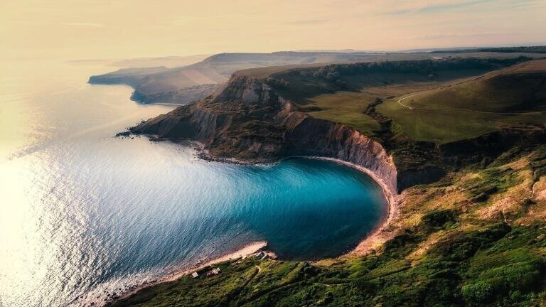
Homeowners were forced to face concerning news late last year when the Environment Agency announced that 7,000 British properties were at risk of being lost at sea. According to the experts the UK’s sea level is set to surge over the new few centuries which will see thousands of ocean side properties engulfed in waves. This represents a huge £1 billion worth of property which will quite literally be washed away.
So how do organisations plan to monitor the impact of coastal erosion? According to an Environment Agency spokesperson the group “uses a range of advanced techniques to monitor and assess the causes and impacts of coastal erosion." These techniques are employed by environmental specialists across the globe and play an integral role in helping to safeguard coastlines against rapid erosion.
Coastlines are inherently dynamic which makes mapping a difficult venture. Scientists draw on a variety of data sources to draw up an accurate representation and use the result to analyse historical trends and future predictions.
Comparing before and after photographs is sometimes the easiest, cheapest and most insightful way of determine how coastal erosion has impacted a landscape over a long period of time. Historical photographs often offer an accurate representation of shoreline structure that other data sources simply cannot deliver.
Since the 1920s aerial photographs have been used to gather information about coastal erosion trends. They offer accurate special coverage and insight into how erosion could affect inland areas.
When it comes to measuring the short term effects of coastal erosion beach profiling surveys are the technique of choice. Surveyors track fluctuations in shoreline position and beach volume which can then be used to determine long term effects.
Thanks to technological advancement environmental scientists can now use airborne, satellite and on-land remote sensing equipment to monitor coastal erosion. These include microwave sensors, multispectral and hyperspectral imaging, GPS and airborne light detection and ranging technology (LIDAR).
Video is another popular technique used to gather continuous information on the effects of coastal erosion. It’s quantitative, affordable and accurate which makes it a technique of choice for almost all case studies.
It is one thing to conduct research into coastal erosion but it’s another to use the research in order to combat the issue. The Department for Environment Food and Rural Affairs (Defra) allocated £11 million to help English councils deal with coastal erosion back in 2009. At present, the government has committed to a £2.3 billion investment which will be channelled into preserving the properties and minimising the effects of coastal erosion, which demonstrates how increasingly problematic coastal erosion is. A spokesperson for the Environment Agency explains, "The recent announcement of £2.3bn investment over the next six years will see significant investment in coastal flood and erosion risk management, with 15,000 properties better protected from coastal erosion over the next six years.”
IET 36.5 Sept/Oct 2026



 Product directory