Water/wastewater
Published over 15 years ago. See the latest and most current information on Water/wastewater.
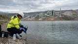
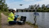
WTW’s collaboration with the Limnological Institute of the TU München (Munich Technical University) has enabled a doctoral candidate to ecologically assess selected running waters in Greece by comparing the water quality with corresponding rivers in Bavaria. Diatoms, a photo-synthetic algae with cell walls composed of glass, were identified from three rivers in the north west of Greece (Epirus). In addition chemical and physical properties of the water were also recorded. A secondary goal of the project was to discover the source of suspected pollutants. The investigation was intended to serve as the initial step for the implementation of the European Water Framework Directive. The EWFD states that all waters in the EU exhibit a ‘good’ ecological condition by 2015. To determine the current ecological status, diatoms, long recognised as useful and accurate bio-indicators, were used.
Epirus is the most north westerly of the 13 regions in Greece and has an area of 9223 km² and 353,820 inhabitants.
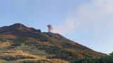
The Pindos mountain range runs north - south through the entire region such that 74% of Epirus is in the montane zone. This mountain range is responsible for the high level of precipitation generated in this region. Moisture-laden clouds from the west deposit rain before crossing the summits. Because of this, numerous watercourses flow to the west, draining into the Ionian sea. Until now, there has been little in the way of chemical and ecological characterisation of this rivers.
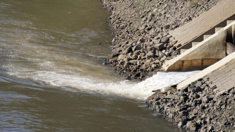
The four main watercourses in Epirus originating in the Pindos mountain range are Arachthos, Kalamas, Acherontas and Louros. The first three were analysed within the presented study by scientists of the Limnological Institute of the TU München. The example described in this article provides a report on just one of the rivers, the Kalamas.
The Kalamas river is approximately 115 km long and has a catchment area of 1747 km². It begins north of the capital city Ioannina near to Kalpaki and flows out into the Ionian Sea (see Fig. 3). Numerous tributaries feed the main river, of which the six largest streams, Gormos, Tiria, Zalogitikos, Smolitsas, Kosovitikos and Kalpakiotikos, were involved in this analysis.
IET 36.2 Mar/Apr 2026


.jpg)